Professional Observation
Basic Information
Observation Details
Observation Date:
February 6, 2023 - February 7, 2023Submitted:
February 6, 2023Observer:
Barbara Wanner | Key ObserverZone or Region:
Lee ViningLocation:
San Joaquin Mtn to Fern CreekSigns of Unstable Snow
Recent Avalanches?
None ObservedCracking?
IsolatedCollapsing?
None ExperiencedSnow Stability
Stability Rating:
GoodConfidence in Rating:
ModerateStability Trend:
ImprovingKey Points
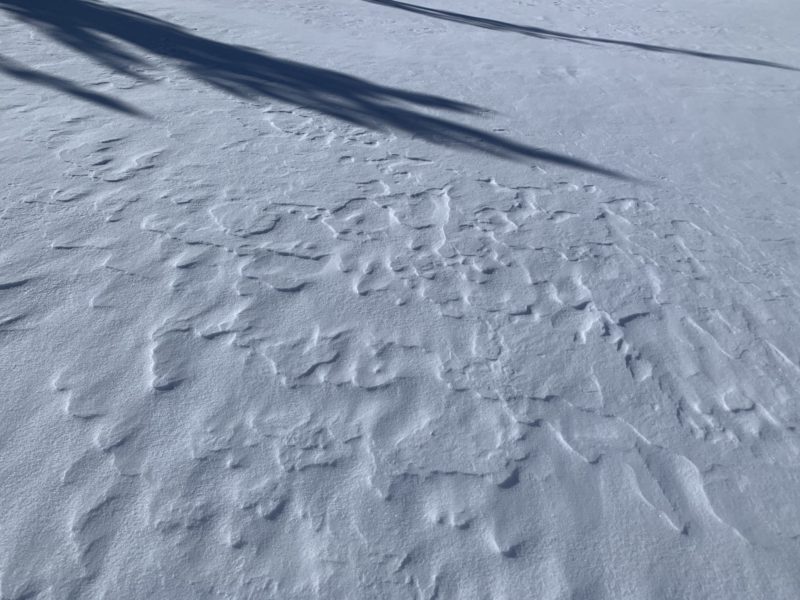
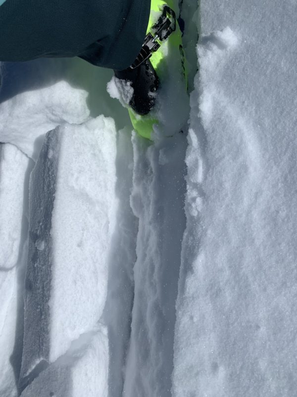
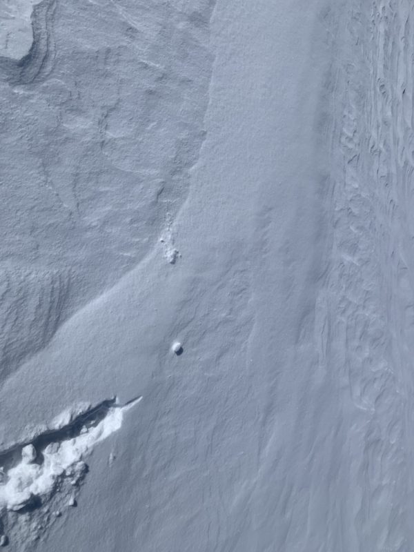
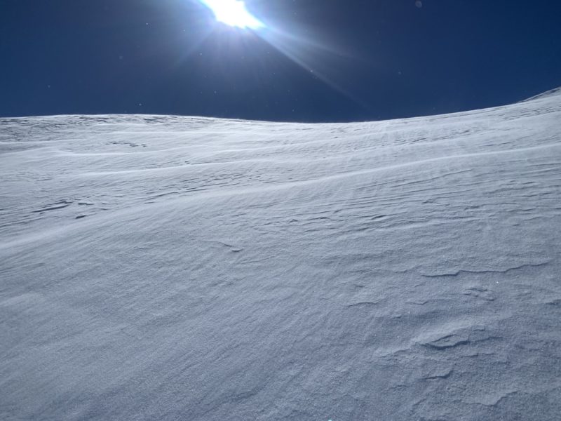
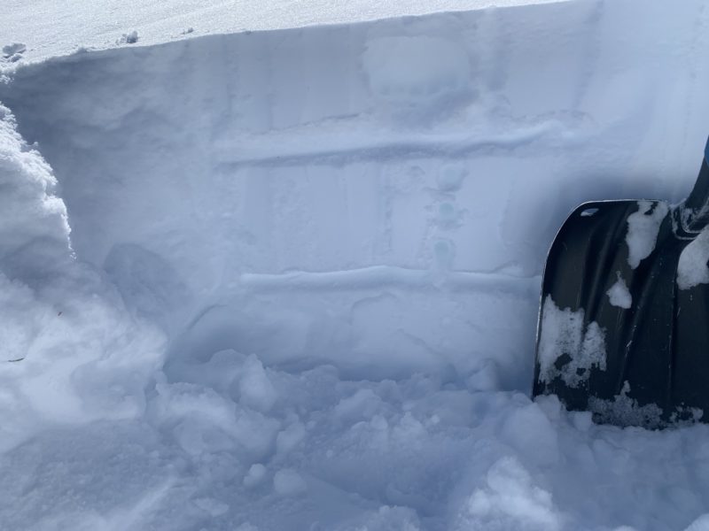
Steady N to NE winds at ridge top elevations were transporting quite a bit of snow today . BTL in open areas by rolling across the snow surface. NTL, ATL at increased rates by rolling and saltation and by turbulent suspension at high ridges. The snow deposited by the SW winds during the last storm was getting eroded by northerly winds today. New, shallow wind depositions were forming. The snow depths from the February 04-05 storm on the SE side of June and in the Positive Bowl were consistently around 15 cm deep. With a thin wind skin below 10400′ and increasing to shallow and un-reactive wind slabs of about 10 cm deep as we climbed higher producing only isolated cracking right at my skis. I never saw any shooting cracks. Stomped on a few pillows and did not get any results. On the N side of San Joaquin Mtn. in Fern creek, the N winds were moving snow up slope. We skied soft, wind compressed snow in the upper part of the Fern Creek but I did not see any reactive wind slabs. I did not see any recent natural avalanches. Just good skiing. Below Fern Lake the snow accumulated more deeply to 30 – 40 cm of loose snow. No slab formation observed.
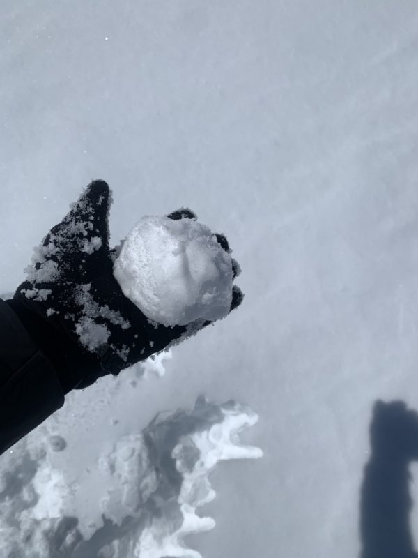
Slight solar warming of the snow in places that were sheltered form the winds. Snow became moist. No natural rollerballs observed.
Advanced Information
Weather Summary
Cloud Cover:
Mostly SunnyWind:
Strong , NESnowpack Observations