Professional Observation
Basic Information
Observation Details
Observation Date:
February 1, 2023Submitted:
February 1, 2023Observer:
Barbara Wanner | Key ObserverZone or Region:
Lee ViningLocation:
Mt. Gilcrest Some recent snow on firm wind boardSigns of Unstable Snow
Recent Avalanches?
None ObservedCracking?
IsolatedCollapsing?
None ExperiencedSnow Stability
Stability Rating:
GoodConfidence in Rating:
HighStability Trend:
ImprovingKey Points
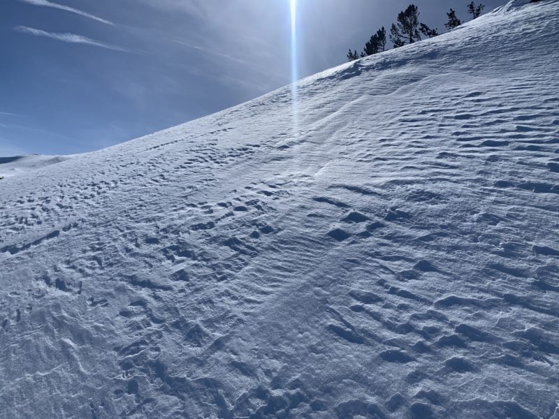
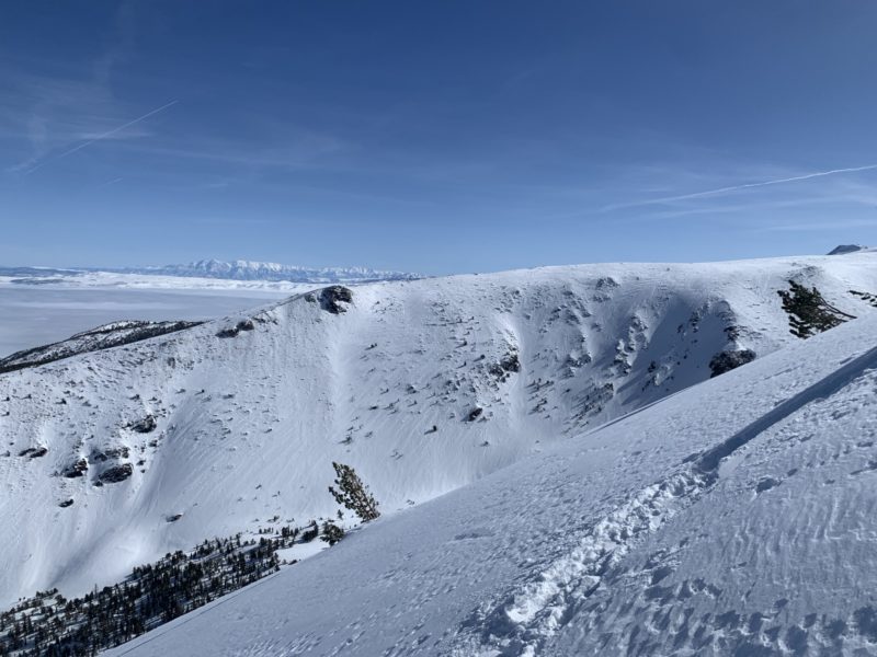
- Skinned up Deer Creek and then hiked up the NE facing chute and ridge.
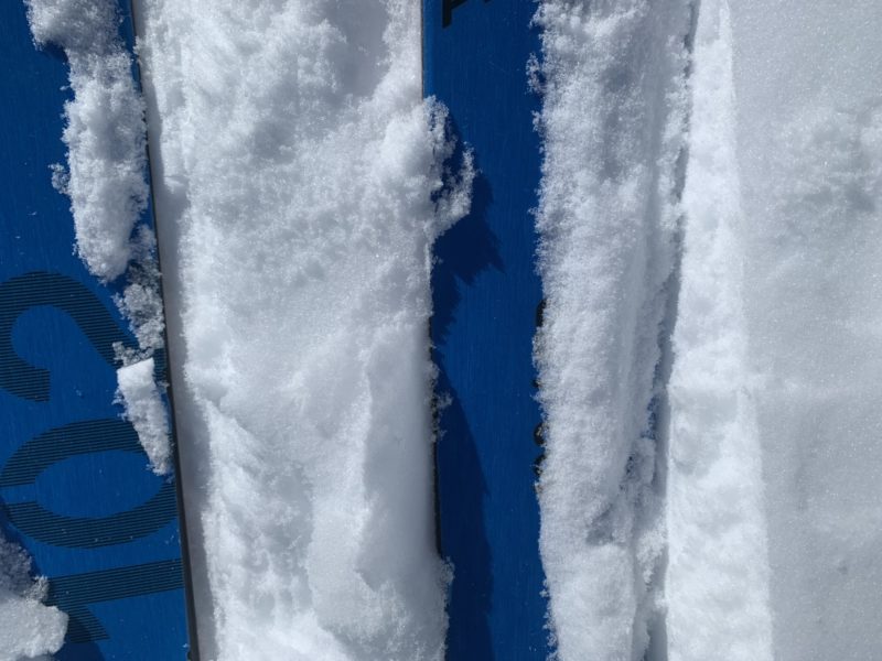
- New snow depths from the 01/29 -30 storm varied from 2 ‘ deep down near Lundy Lake to deeper accumulations around 11000 ft. in the trees or in the main couloir. In the more N facing trees the new snow measured 20 – 25 cm deep. In the open NE facing couloir it was 10 cm deep.
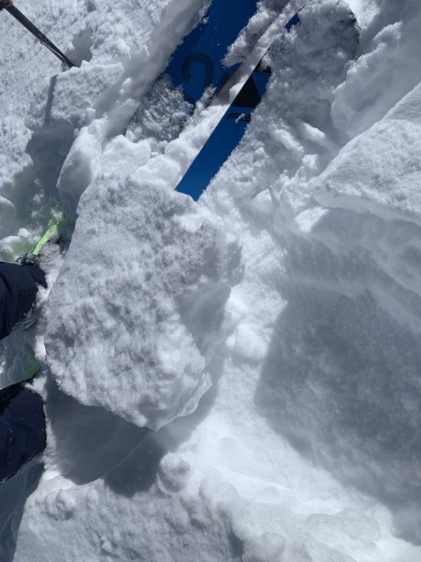
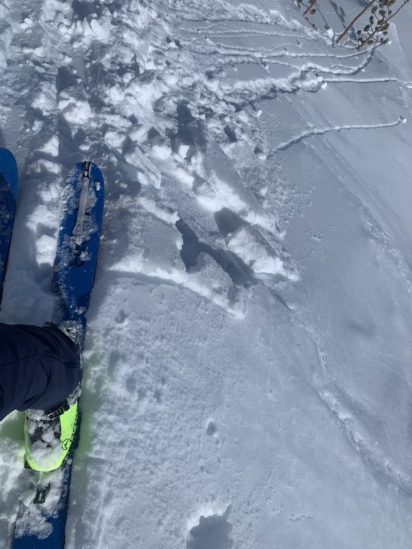
- The new snow is still low density and barely consolidated. I noticed some isolated wind slab formation near the ridge. Those slabs ( 15 cm deep ) broke around our skis as we broke trail. They are not reactive and I did not see any propagation.
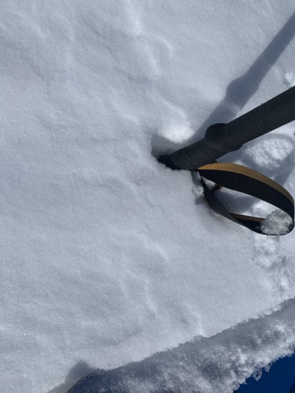
- Underneath the new snow is a wind crust. In steep terrain above 9000 ft. the wind crust is very firm and I had to bust out my ski crampons. The low density new snow just slid off and didn’t really form a nice skin track.
- In the openly spaced trees on the steep N aspects, the crust was less firm and made for easier skinning but a little less predictable skiing.
- The new snow does form a soft wind skin in many places and it appears that there is faceting happening underneath that new wind skin or crust.
- Solar aspects showed signs of warming up but we only saw one lone rollerball making it’s way down hill.
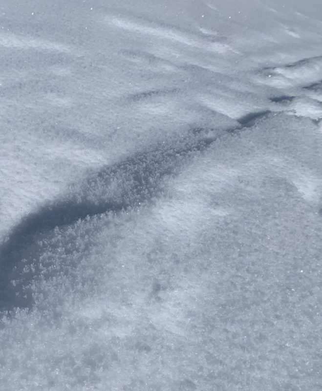
- The Poconip ( valley fog in the Mono basin) blankets to snow surface below 7200 ‘ with rime. It appears that there is surface hoar that has been covered with rime.