
Professional Observation
Basic Information
Observation Details
Observation Date:
January 8, 2023Submitted:
January 8, 2023Observer:
Everett Phillips | ESAC ForecasterZone or Region:
Mammoth LakesLocation:
Mammoth Lakes area - Deep SnowpackSigns of Unstable Snow
Recent Avalanches?
None ObservedCracking?
None ExperiencedCollapsing?
None ExperiencedKey Points
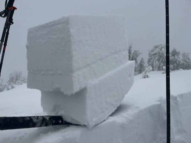
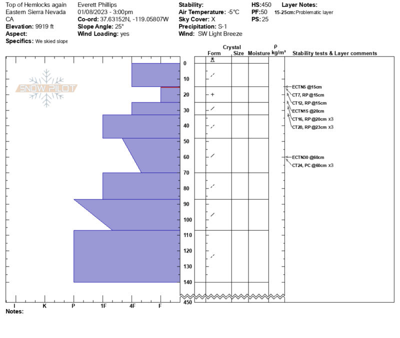
I went out in the Mammoth Lakes area to have a last look at the upper snowpack layers from the last three storms
- Total height of snowpack ~ 3m (10 ft.)
- HN24: ~ 15 to 25 cm
- Storm slabs were unreactive on convex rolls BTL
- The upper snowpack (within 170 cm of the surface) consists of wind packed precipitation particles from recent storms. No persistent grains were found.
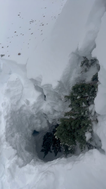
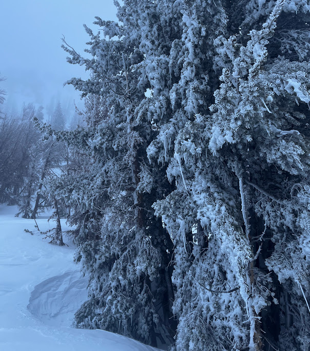
- Dangerous tree well (snow immersion suffocation) conditions are developing. If you are riding in the forest; keep your partner in sight.
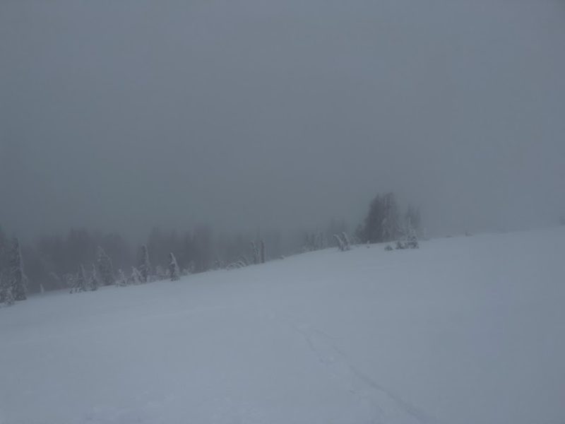
It was eerily quiet and foggy out there. You could feel the storm coming.
Media
Advanced Information
Weather Summary
Cloud Cover:
ObscuredTemperature:
23 FWind:
Light , SW
Storm intensity decreased this afternoon. At 10,000′ on a NW aspect graupel was falling at less than 1 inch per hour, and winds were light with moderate gusts from the southwest.
Close