
Professional Observation
Basic Information
Observation Details
Observation Date:
January 8, 2023Submitted:
January 8, 2023Observer:
Barbara Wanner | Key ObserverZone or Region:
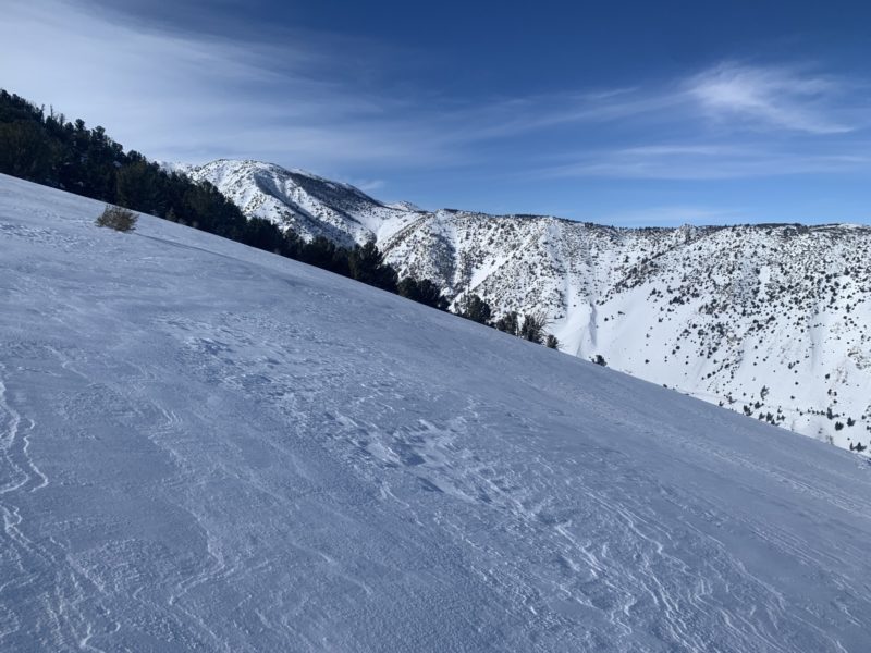
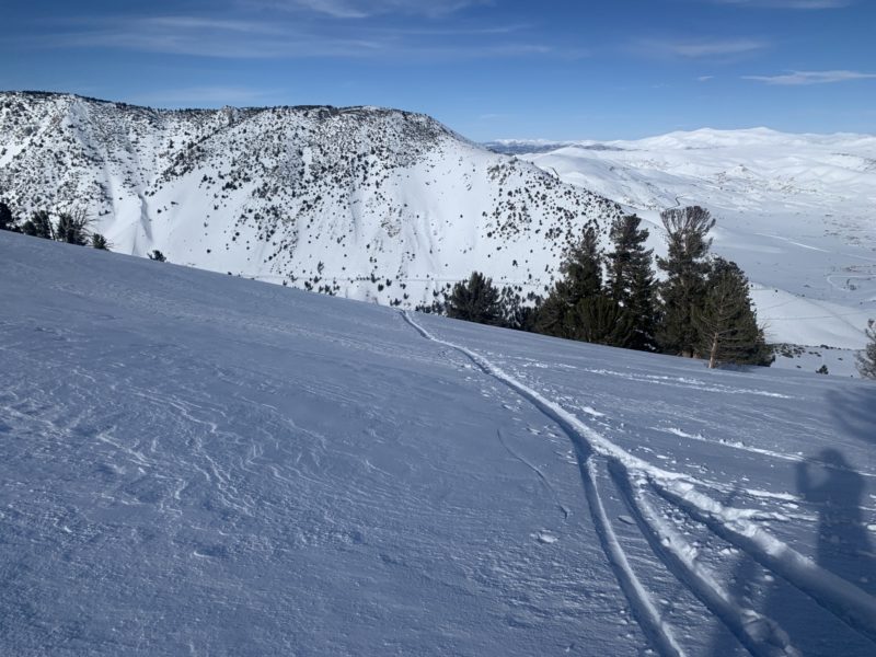
Lee ViningLocation:
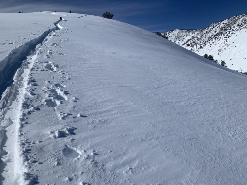
Lundy Previous and current wind loadingSigns of Unstable Snow
Recent Avalanches?
None ObservedCracking?
None ExperiencedCollapsing?
None ExperiencedSnow Stability
Stability Rating:
FairConfidence in Rating:
HighStability Trend:
WorseningKey Points
Advanced Information
Weather Summary
Cloud Cover:
Mostly CloudyWind:
Moderate , SWSnowpack Observations
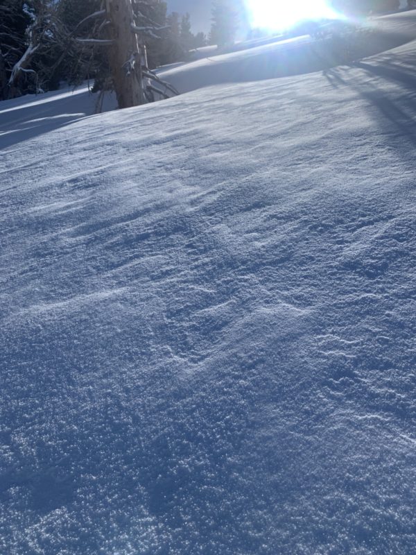
- 5 cm of new snow in sheltered area at 7100 ft. this morning.
- Overnight winds had turned this snow into a soft but dense and creamy blanket about 15 – 20 cm deep.
- Skinned up to 9000 ft. on a N aspect.
- Wind slabs seemed stubborn. No shooting cracks formed with kick tests.
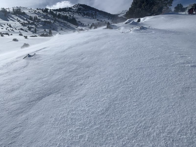
- Steady light SW winds with moderate gusts transported snow all around us. Blowing snow in big snow banners were visible off South Peak, Mt. Gilcrest and the higher shoulders up toward Mt. Warren.
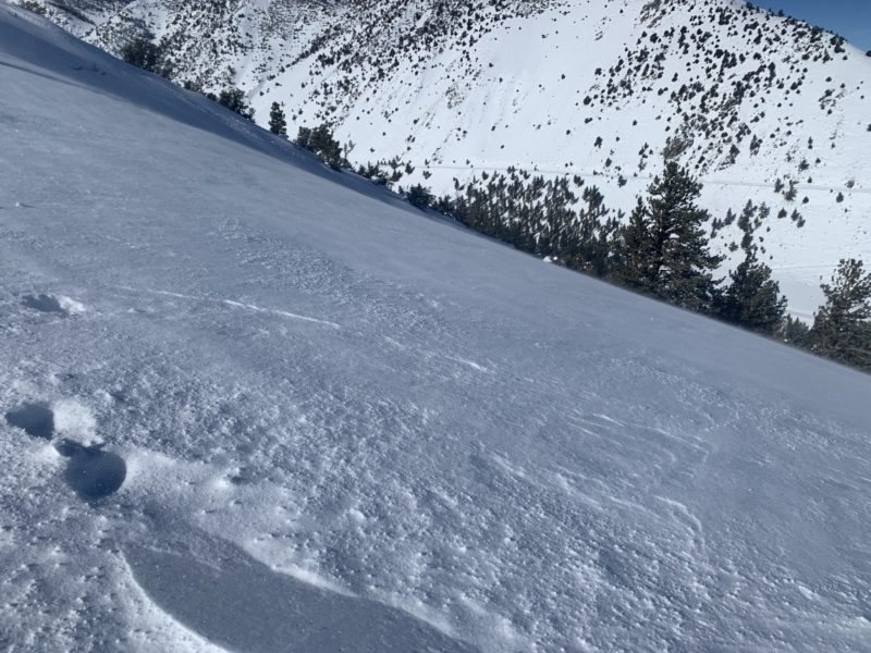
- Small Graupel covered the snow surface everywhere between 8000 and 9000 ft and was moved downslope by the winds.
- Really good cover everywhere in Lundy Canyon.
- Stability BTL seems pretty good. However stability up at ridge top level in steep, leeward terrain is deteriorating with the steady SW winds and new snow available for transport.