
Professional Observation
Basic Information
Observation Details
Observation Date:
January 4, 2023Submitted:
January 5, 2023Observer:
Everett Phillips | ESAC ForecasterZone or Region:
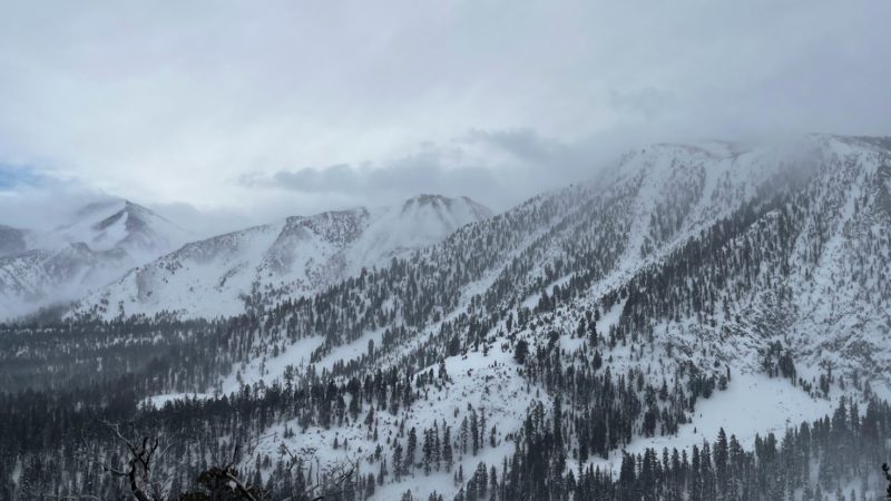
Mammoth LakesLocation:
Sherwins - Snowpack ObsSigns of Unstable Snow
Recent Avalanches?
None ObservedCracking?
None ExperiencedCollapsing?
None ExperiencedKey Points
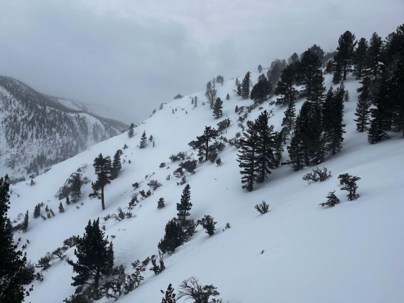
Went for a tour below treeline in the Sherwins to check on wind slab development.
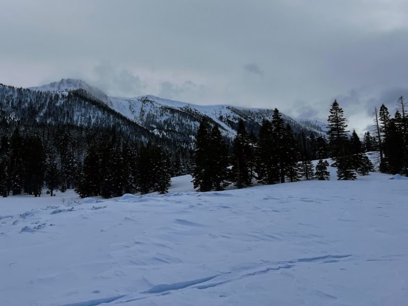
- Snow totals underperformed today in the Sherwins with only about 3 inches of new snow all day.
- Forecasted high winds underperformed below treeline with limited drifting and isolated slab development.
- Plenty of wind loading throughout the day in north and east facing ridgeline bowls and chutes.
Overall less stormy than expected today.
Media
Advanced Information
Weather Summary
Cloud Cover:
Mostly CloudyTemperature:
32Wind:
Light , SW
Strom cleared in the early afternoon.
Snowpack Observations
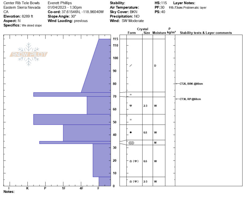
5 to 10 cm of new snow in the Sherwins today. Ski pen throughout the tour was between 20 and 45cm. By continuously probing throughout our tour we were able to track the presence and depth of the 12/31 rain crust. 9800′ seemed to be the line where the entire snowpack was dry. At that elevation the HS was 215cm and the snow surface from 12/31 was down 105cm. At 9000′ HS was 145cm with a strong thick rain crust. A snowpit at 8300′ revealed that the lower snowpack is still wet.
Avalanche Problems
Not much wind slab development below treeline in the Sherwins today.
Close