
Professional Observation
Basic Information
Observation Details
Observation Date:
December 5, 2022 - December 5, 2022Submitted:
December 5, 2022Observer:
Clancy Nelson | ESAC ForecasterZone or Region:
Mammoth LakesLocation:
Mammoth Lakes Basin - Whumpfing in the DeepSigns of Unstable Snow
Recent Avalanches?
None ObservedCracking?
IsolatedCollapsing?
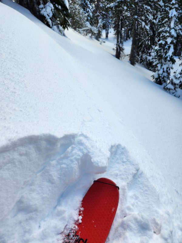
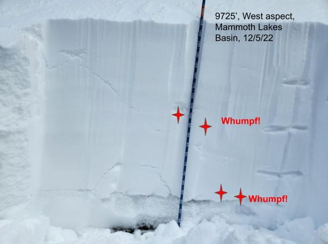
Isolated- At 9725 feet, I got a deep, booming collapse that shook the snow out of trees 50 feet away on the west-facing side of a gully in an open forest. Complete with shooting cracks.
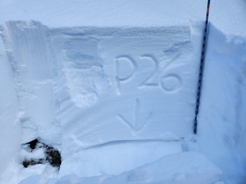
- I dug and found that the cracks shot down to a layer about 45cm deep, where I got an ECTN12, and also on a layer of 2mm facets about 15cm above the ground. On the deeper layer, I got ECTP26. HS = 150. The slab was soft (4F over F over 4F). The deep facets were F hard.
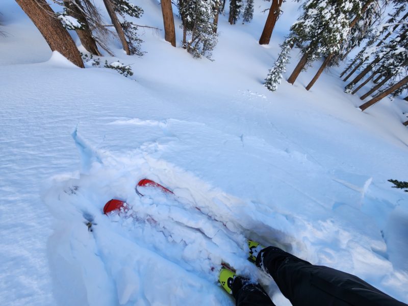
- I jumped on some previously wind-drifted slopes across the gully (NE facing) and got cracking and small slabs that broke out from under me.
- I got some localized whumpfing on east-facing slopes at the same elevation.
Key Points
I took a quick day-off tour into the Lakes Basin and saw several signs of instability.
- Whumpfing and cracking, mentioned above.
- Propagating snow pit tests, mentioned above.
Media
Advanced Information
Weather Summary
Cloud Cover:
Mostly CloudyTemperature:
Below FreezingWind:
Light , SW
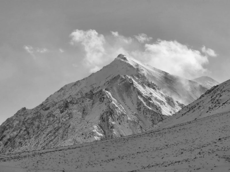
I expected it to clear up more than it did along the Mammoth Crest.
Light graupel showers off and on.
Winds were still blowing near- and above-treeline where I saw intense blowing snow, both in the Mammoth Area and along the whole range on my drive back down to Bishop.
Snowpack Observations
The surface and top inch of recent snow were graupel.
Ridges had supportable, 1F hard, wind drifts from the past 4 days. Drifts were between 10 and 50cm thick, even below treeline. Ski pen in more sheltered areas was 10-30cm. Boot pen was about a meter.
Terrain Use
I did not expose myself to any avalanche terrain today.
Close