
Professional Observation
Basic Information
Observation Details
Observation Date:
February 17, 2022 - February 17, 2022Submitted:
February 17, 2022Observer:
Mike Phillips | Key ObserverZone or Region:
June LakeLocation:
June Mountain BC - New snow on northerly aspectsSigns of Unstable Snow
Recent Avalanches?
None ObservedCracking?
None ExperiencedCollapsing?
None ExperiencedNo evidence of unstable snow conditions throughout our tour today.
Snow Stability
Stability Rating:
Very GoodConfidence in Rating:
HighStability Trend:
SteadyMedia
Advanced Information
Weather Summary
Cloud Cover:
ClearTemperature:
Above freezingWind:
Light , SW
Clear skies all day. Winds were mostly calm with some periods of light breeze out of the SW at our location above Yost Meadow.
Snowpack Observations
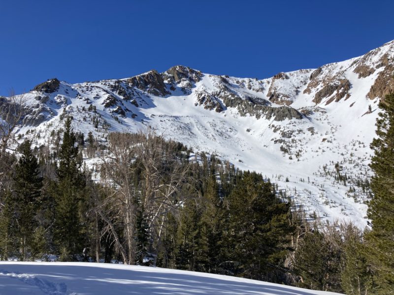
Toured out of June Mountain today to investigate the new snow on more northerly aspects, below the ridgetops where it was obviously stripped by the strong North winds during the peak of the snowfall. In general it was nice to avoid the terrain that was damaged by those upslope winds and therefore keep the sharp tools in the backpack for the day.
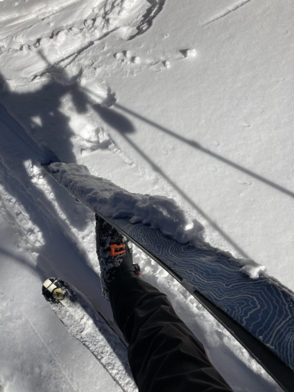
We confirmed 4-6″ of new snow in sheltered areas in NNW facing trees leaving the top of J7. The skiing was pleasant but there certainly was some dust on crust thrown in for good measure.
In open areas near tree line and approaching the alpine, the distribution of the new snow was more variable and slightly wind affected, but nothing more than a soft thin skin in most places. Kickturn tests were consistently negative with no notable cracking, and stomping on loaded convexities and steeper rolls were the same. We could not identify any obvious wind slabs throughout our travels. The line of demarcation where snow was more sculpted by the wind or stripped away was between 10,000′ and 10,200′.
Looking up at Solar Bowl and the lookers right side of the Negatives we are right back down to the old variable melt-freeze surface. At a distance we observed no rockfall or any signs of loose wet instabilities.
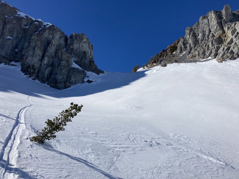
We dug a quick pit at 10,200′ on a due North facing aspect to look a little bit more closely at the old snow/new snow interface. Small and large column tests produced no notable results. At this location the F hard new snow overlaid a faceted, 4F+ hard surface. Winds beneath the Negatives were light out of the SW.
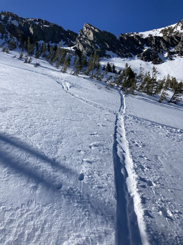
We skied two laps from 10,200′ down to Yost Meadow. Between our laps the light winds had blown our skin track back in with fresh snow in a few places. The snow transport was subtle, mostly rolling snow and slight saltation in a shallow gully feature.
The new snow has helped to quiet the skis some on descents if you can connect the ribbons. On the approach back toward June Mountain on the WNW forested slopes the snow did turn sticky in the sun and the skin glopping was pretty real. With another clear and warm day forecast for tomorrow I’m interested to see if we start to see some early signs of loose wet activity on solar aspects that are holding fresh snow.