
Professional Observation
Basic Information
Observation Details
Observation Date:
February 15, 2022Submitted:
February 15, 2022Observer:
Steve Mace | ESAC ForecasterZone or Region:
Mammoth LakesLocation:
Sherwin ridge, new snow and wind transportSigns of Unstable Snow
Recent Avalanches?
None ObservedCracking?
IsolatedCollapsing?
None ExperiencedSnow Stability
Stability Rating:
GoodConfidence in Rating:
ModerateStability Trend:
WorseningKey Points
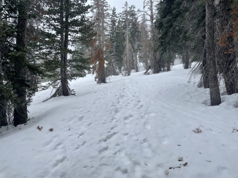
- I left mill city this afternoon to get an idea of new snow totals and to see if I could find any areas with substantial wind deposition.
- Snow began in earnest around 1030 this morning right around the time the winds shifted to the north. Snow totals felt minimal on my tour today, measuring 1-1.5 inches on average.
- Snowfall rates remained S-1 for the most part with periods of S-2
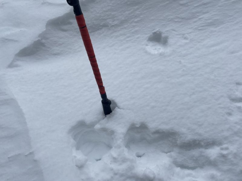
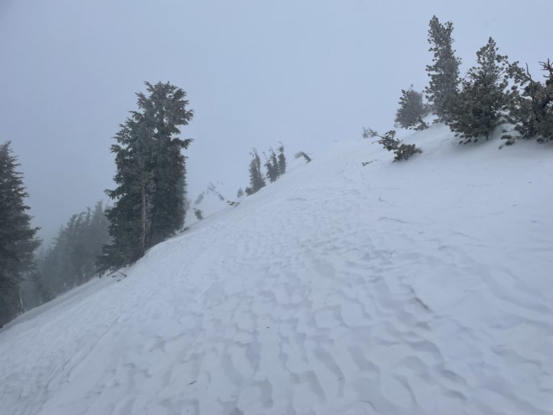
- I found several areas with thin deposits, ~4″ or so with the deepest drift measured at 6″ in an isolated area near a rock outcropping. Only minor cracking was observed and I was not able to find any consequential wind slab development. It is worth noting that I was on a NE aspect and I would be more concerned on southerly aspects after today’s storm.
- With continued snow and wind I would suspect Wind slabs to become larger in size and more specific in distribution, however, I observed no signs of instability on my tour today. the largest hazard I experienced today was firm and variable dust on crust conditions.
Media
Advanced Information
Weather Summary
Cloud Cover:
OvercastTemperature:
17Wind:
Strong , NE
Light to moderate snowfall with strong winds out of the northeast. Temperatures were brisk today. highs in the mid-teens this afternoon in the mid-elevations.
Close