
Professional Observation
Basic Information
Observation Details
Observation Date:
February 14, 2022Submitted:
February 15, 2022Observer:
Steve Mace | ESAC ForecasterZone or Region:
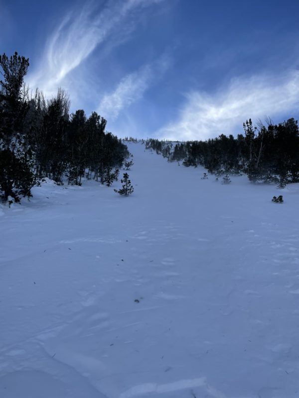
June LakeLocation:
Mt Lewis, East face - variable surface conditions and waning coverageSigns of Unstable Snow
Recent Avalanches?
None ObservedCracking?
None ExperiencedCollapsing?
None ExperiencedSnow Stability
Stability Rating:
Very GoodConfidence in Rating:
HighStability Trend:
SteadyKey Points
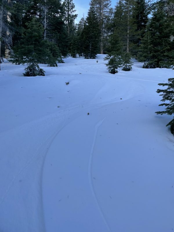
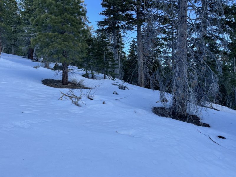
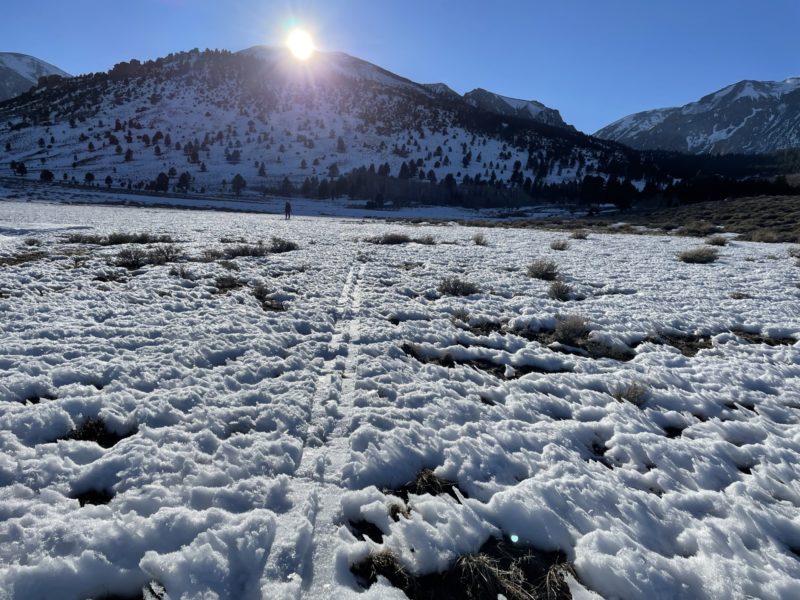
We made our way up Mt lewis today to survey surface conditions at multiple elevations and with the hope of finding soft surface snow in the sheltered trees on the NE shoulder. While we did find some areas of soft facets surface snow, it was by no means the primary sliding surface. We sampled just about every surface imaginable during our tour today.
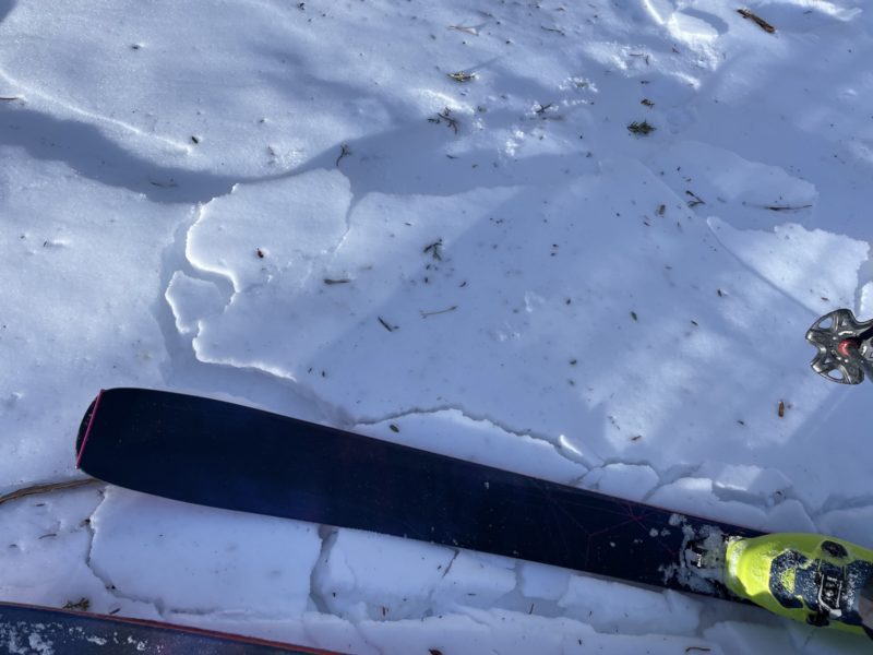
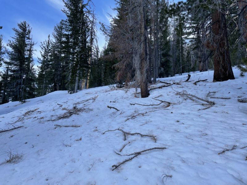
Despite the recent warm temperatures and sunny skies, we found adequate, albeit very thin coverage even at lower elevations. This allowed us to travel on skis to and from the truck on the Parker creek road. It’s worth noting that this will not be the case for much longer unless we see some substantial snowfall.
Temperature crusts were widespread on all aspects up to about 8500′ with areas of melt-freeze up to about 10000′ in areas with sun exposure.
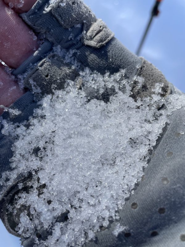
We sampled some hard and slick surfaces in an open chute feature around 11,000′. While the bulk of this chute was very hard and slick I was actually pleasantly surprised at the amount of faceting that has occurred in these exposed areas. well established wind board has broken down and become more edge-able in some areas particularly where the slope angle backs off a bit.
While the snowpack is still supportable, overall coverage is quite thin. I measured several areas with a total snow height of ~20 – 30 cm~, and I would say the average coverage for the entirety of our tour was 50-70cm. This is true even in the mid-elevation protected areas we traveled.
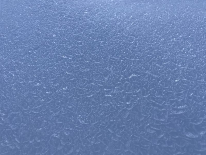
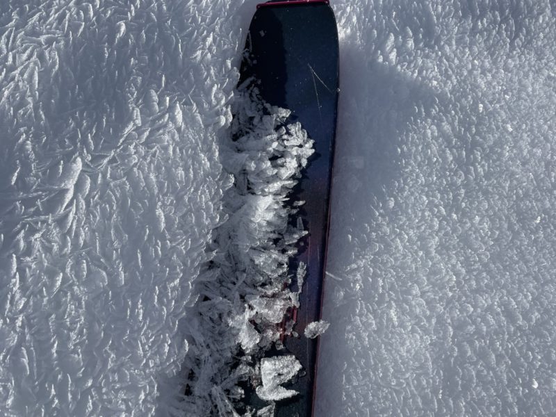
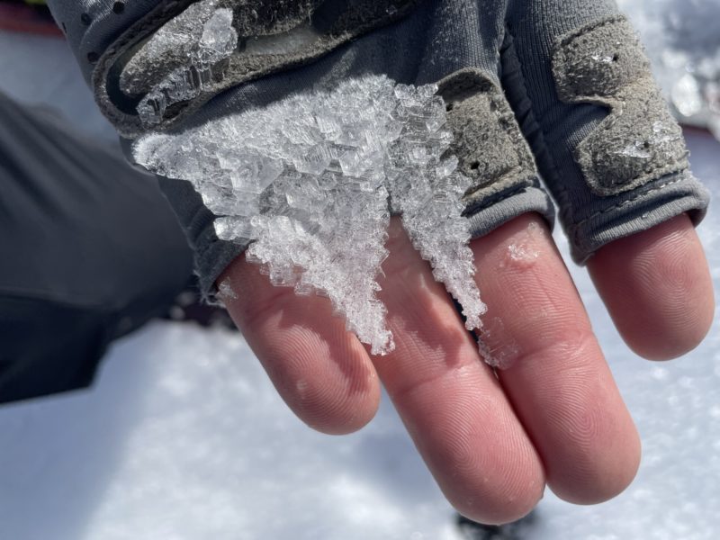
Surface facets or near-surface facet/crust combos are widespread on more shaded aspects at all elevations. We also observed many areas of well-established surface hoar throughout our travels NTL and BTL Ranging in size from 5 mm – 6 cm in size, we noted that the bulk of the surface hoar was in protected areas near open creeks. It will be interesting to see how these conditions react to a new load if/when we see more substantial snowfall in the forecast area.
No signs of instability were observed on our tour today.
Media
Advanced Information
Weather Summary
Cloud Cover:
Mostly CloudyTemperature:
low to mid 30°FWind:
Strong , SW
Mostly cloudy skies broke mid-afternoon becoming mostly clear. Temperatures remained above freezing although strong winds out of the SW kept things feeling chilly for most of the day.
Close