
Professional Observation
Basic Information
Observation Details
Observation Date:
March 16, 2022Submitted:
March 17, 2022Observer:
Chris Engelhardt | ESAC ForecasterZone or Region:
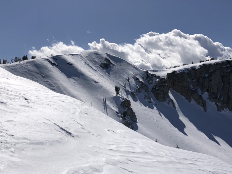
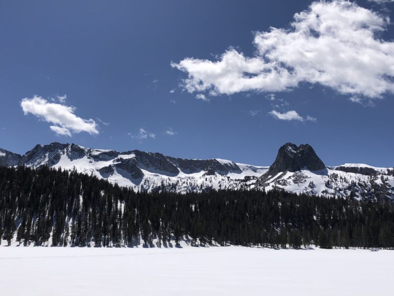
Mammoth LakesLocation:
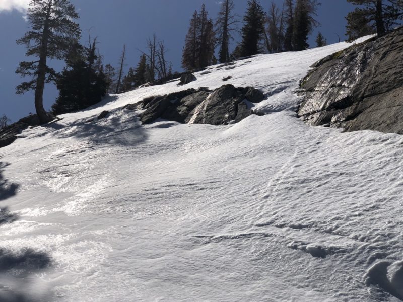
Mammoth Crest-Red Cone area-Isothermal snow on E aspects, thin wind slab in the AlpineSigns of Unstable Snow
Recent Avalanches?
None ObservedCracking?
IsolatedCollapsing?
None Experienced- Reactive small and isolated wind slab on Northerly aspects in Red Cone bowl and Hollywood chute ~10,400K and above
Snow Stability
Stability Rating:
GoodConfidence in Rating:
HighStability Trend:
SteadyKey Points
- Trace to 2″ of new snow at upper elevations with evidence of initial precipitation on 3/15 starting as rain at the 10K level. Northerly aspects around 10K where sheltered…harbored upwards of 4″ of wind blown new snow. Minor thin rain crusts of non-uniform nature observed at ridgeline.
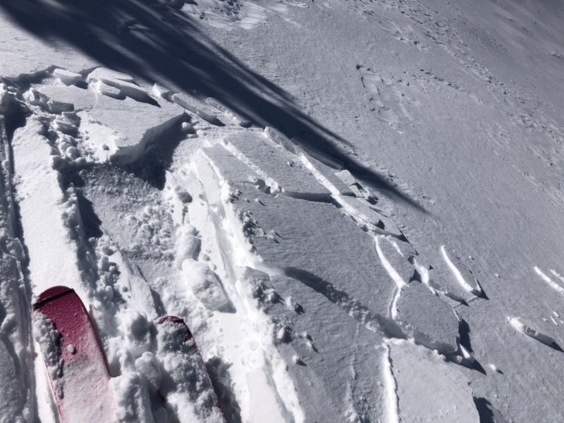
- Thin, reactive wind slab was found cross loaded in Hollywood chute and right adjacent to ridgeline in Red Cone bowl ~ 10400ft. Small panels easily slid on old near surface faceted surfaces.
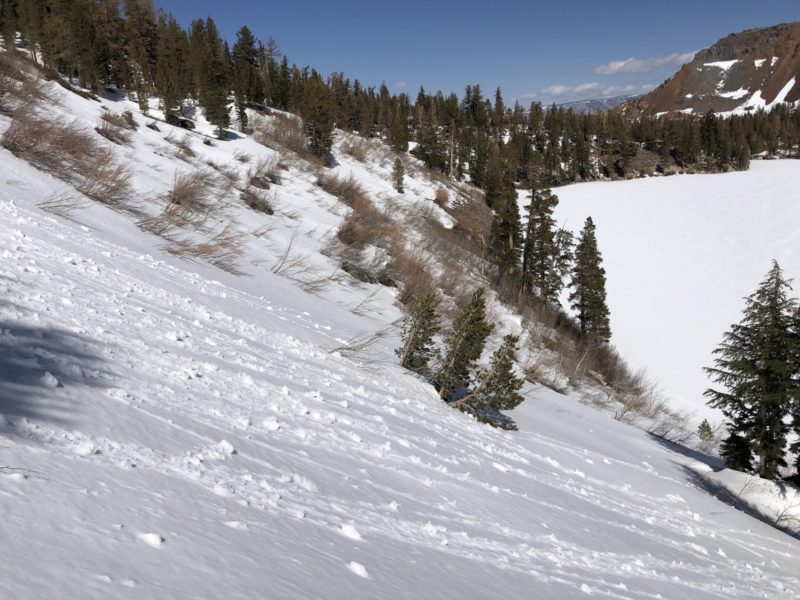
- Easterly aspects from 9-10K are becoming isothermal (equal-temperature @ freezing) with progressive rounding of snow grains. Unsupportable where shallow in late afternoon.
- Minor roller-balling on Easterly aspects (~9100ft), likely occurring on 3/15.
- Running water observed on Granite slab beneath the snowpack on East Aspects at 9600ft
- Temperature crusts on northeasterly aspects within trees above Horseshoe lake.
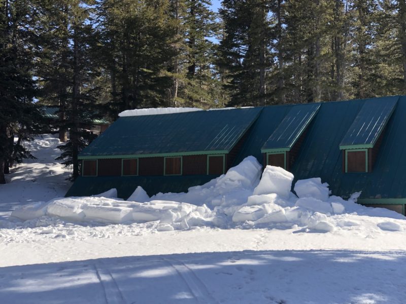
- Significant Roof-Avalanche off the Wildyrie Lodge near Lake Mamie. (see photo)
Media
Advanced Information
Weather Summary
- Mostly sunny day with some convective clouds in the afternoon over the Ritter Range and Mammoth Crest.
- Light northeast breeze with moderate gusts at treeline.
- Quite warm and intense spring time solar input
- 42degF @ 8900ft @ 130pm
- 32degF @ 9600ft @ 230pm
Snowpack Observations
https://www.youtube.com/watch?v=IIrMpFsHpI4