Professional Observation
Basic Information
Observation Details
Observation Date:
March 13, 2022 - March 13, 2022Submitted:
March 13, 2022Observer:
Mike Phillips | Key ObserverZone or Region:
Mammoth LakesLocation:
Red Cone - Strong WindsSigns of Unstable Snow
Recent Avalanches?
None ObservedCracking?
None ExperiencedCollapsing?
None ExperiencedSnow Stability
Stability Rating:
GoodConfidence in Rating:
ModerateStability Trend:
ImprovingKey Points
Wind speeds picked up in the town of Mammoth after writing the forecast this morning and continued to climb at Mammoth Mountain as well. By 7:15 a.m. there were gusts up to 152 mph at the top of Ch. 1!
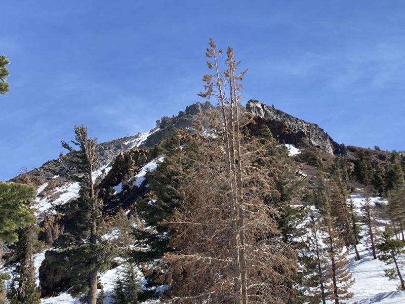
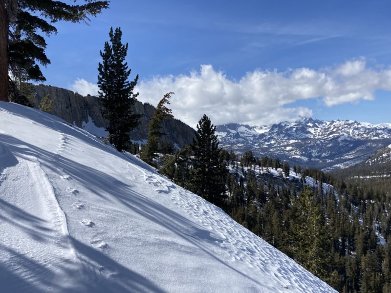
I went for an afternoon tour into the Mammoth Lakes Basin to assess wind transported snow above tree-line. Skies were mostly clear all afternoon.
- At 1:15 p.m. leaving the TH winds were strong out of the SW with a temp of 39f.
- Approaching Red Cone any E thru S aspects had moist and sticky surface snow, or had already begun to refreeze into varying degrees of breakable crust by 3:15.
- Sheltered N aspects are holding cold, dry surface facets up to mid-boot depth in some locations.
- At 3:15 p.m. at 10,400′ ATL, winds were strong, gusting to extreme speeds coming from the S with an air temperature of 28f.
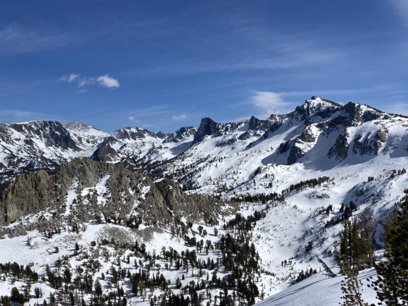
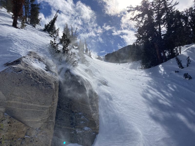
- Looking up and down the Mammoth Crest there was very little (if any) snow transport at the ridgetop, but plenty of blowing snow on mid-slope terrain features. At a distance most of this appeared to be in a state of turbulent suspension, but I wouldn’t be surprised if there are some isolated pillows building where the wind is eddying in small, confined terrain features.
- On the ridge approaching Red Cone there was minimal blowing snow. Any fresh looking deposits I observed were well below the ridgetop on NW thru NE aspects.
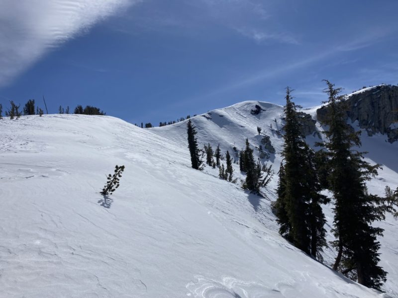
- Most of Red Cone Bowl is stripped down to old, firm snow with the crown from a small slide a couple of weeks ago still obvious.
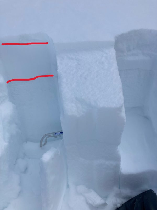
- I dropped into Red Cone Bowl on firm surfaces and found a smooth, somewhat punchy wind deposit under a rock band on a due N aspect at 10200′ and chose to dig a quick pit to see what this fresh wind loaded panel was resting on. HS was 155 cm. The fresh wind deposit was about 5 cm thick and 1F- hard, resting on a 20 cm layer of 4F hard storm snow from our last snowfall. Both of these layers overlaid F hard facets. Test results: CT2Q1SP down 5cm at interface of new wind skin and old storm snow, and CT16Q2RP within the old storm snow. Even a shovel shear test did not produce clean results between the 4F soft slab overlying the F hard old faceted snow. Good news for now, but this interface will be on my radar.
- I did find several cross loaded areas low in the Red Cone Bowl that were unreactive to ski testing. Many wind deposits that I found even well below ridgetops were quite supportable and showing no obvious signs of instability. However, I also avoided traversing low beneath the aprons of rock bands and small chutes where I observed active wind transport fearing that I could find a shallow spot that would produce a small slide in the terrain above me.
- Skiing in sheltered and confined N facing terrain below tree-line I was able to initiate some small, but fast running surface sloughs consisting of dry surface facets.
Media