
Professional Observation
Basic Information
Observation Details
Observation Date:
February 28, 2022Submitted:
February 28, 2022Observer:
Brooke Maushund | Pro ObserverZone or Region:
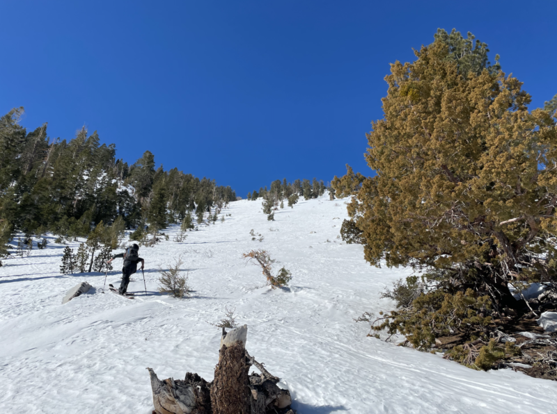
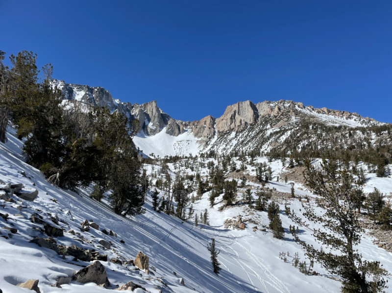
Lee ViningLocation:
East Peak AreaSigns of Unstable Snow
Recent Avalanches?
YesCracking?
None ExperiencedCollapsing?
None ExperiencedSmall wet point releases were visible in some of the higher reaches of the lines off of Dana Plateau as well as traces of small rock fall. The spring-like temperatures are creating spring-like hazards, so be open to the spring mindset: start early, finish early.
Snow Stability
Stability Rating:
GoodConfidence in Rating:
HighStability Trend:
SteadyKey Points
- Spring-like conditions and rapidly warming temps are here and warrant a spring time hazard mindset while in this period of high pressure and high temps: start early and end early
- Rockfall is a real hazard if you put yourself in the terrain for it. Bring a helmet and minimize exposure time
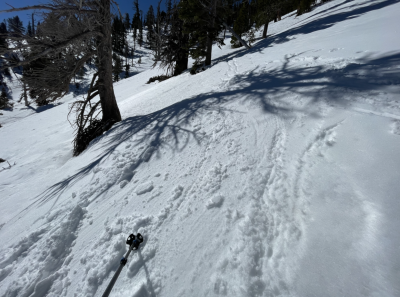
- Uphill travel can be challenging with the most recent storm’s snow presenting as soft and moist on top of an icy crust, which can be unsupportable (in boots) even on N aspects
Media
Advanced Information
Weather Summary
Cloud Cover:
ClearWind:
Calm
- 0851 / 7569′ / crunchy snow surface in sheltered trees / AirT = -3°C / HS 32cm / CLR / calm
- 0901 / 7739′ / NE / 2-3cm of soft dry snow on top of firm surface / AirT = 2.3°C / HS 55cm / CLR / calm
- 0919 / 8071′ / NE / 3cm of soft moist snow on top of firm surface / AirT = 4.6°C / HS 105cm / CLR / calm
- 0949 / 8740′ / N / 6cm of soft wet snow on top of firm surface, however unsupportable to boot / AirT = 7.8°C / HS 80cm / CLR / calm
- 1128 / 9330′ / NE / 6cm of soft wet snow on top of firm surface, unsupportable to boot / AirT = 8.1°C / HS 85 / CLR / calm
Avalanche Observations
Small (D1) wet loose point releases were visible in some of the higher chutes off of the plateau as well as evidence of past rock fall. No active slides or rockfall observed.
Snowpack Observations
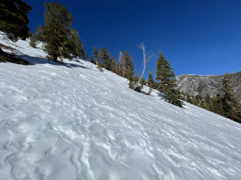
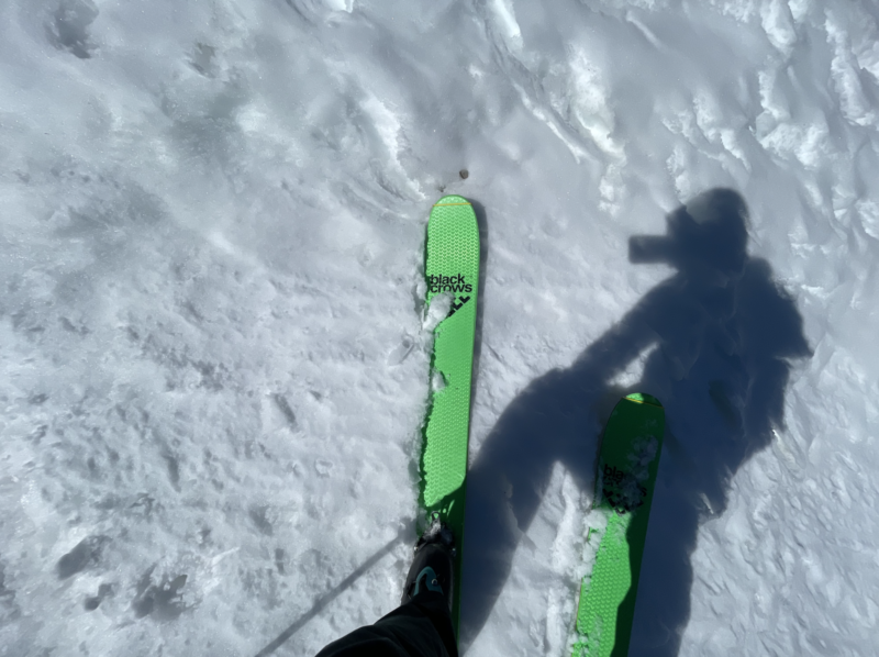
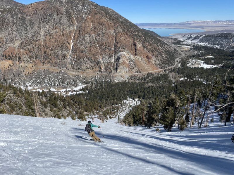
Toured out of the Lee Vining Creek Trailhead, generally headed towards the East Peak area with flexible plans and low expectations. As we ascended, the temperatures rapidly rose. The most recent storms soft snow became more and more moist the higher we ascended and time that passed, with a minimum of 2cm down lower and 6cm up higher on top of the old, icy snow surface from our 6-week dry spell. However, as we got closer to the bench the old snow surface beneath the soft newer snow became unsupportable in spots which made for better skinning (extremely variably) but not conducive to booting. Snow on the way down skied like the beginning stages of corn given the temperatures, however coverage and playing everyone’s favorite “snow drift or barely covered rock?” game made it less tempting to open up on the descent.