
Professional Observation
Basic Information
Observation Details
Observation Date:
January 2, 2022Submitted:
January 2, 2022Observer:
Chris Engelhardt | ESAC ForecasterZone or Region:
Mammoth LakesLocation:
Mammoth AreaSigns of Unstable Snow
Recent Avalanches?
None ObservedCracking?
None ExperiencedCollapsing?
None ExperiencedSnow Stability
Stability Rating:
Very GoodConfidence in Rating:
HighStability Trend:
ImprovingKey Points
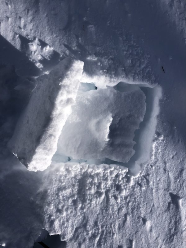
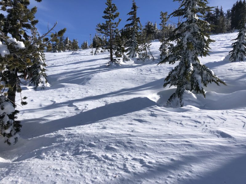
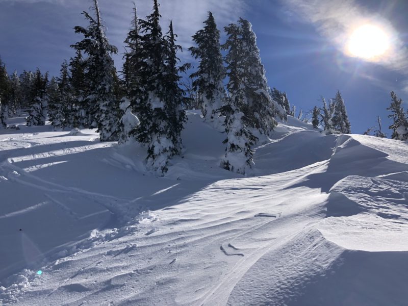
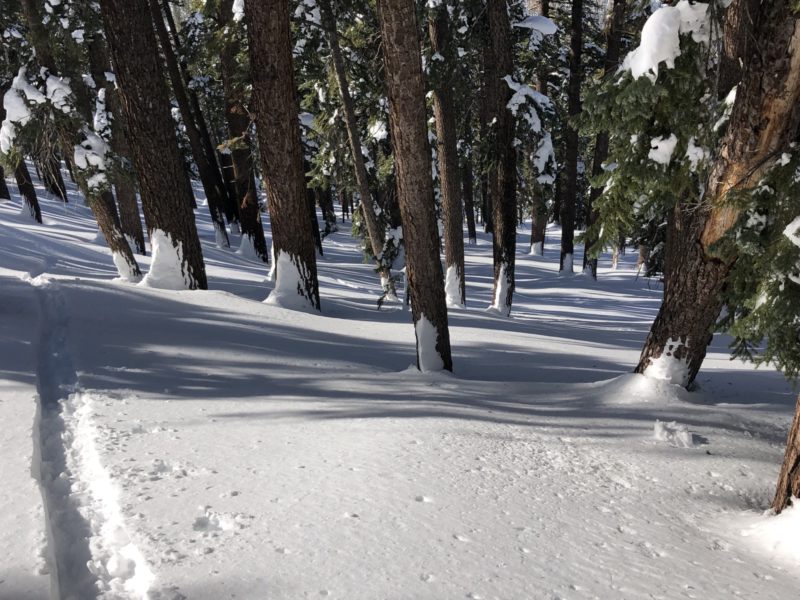
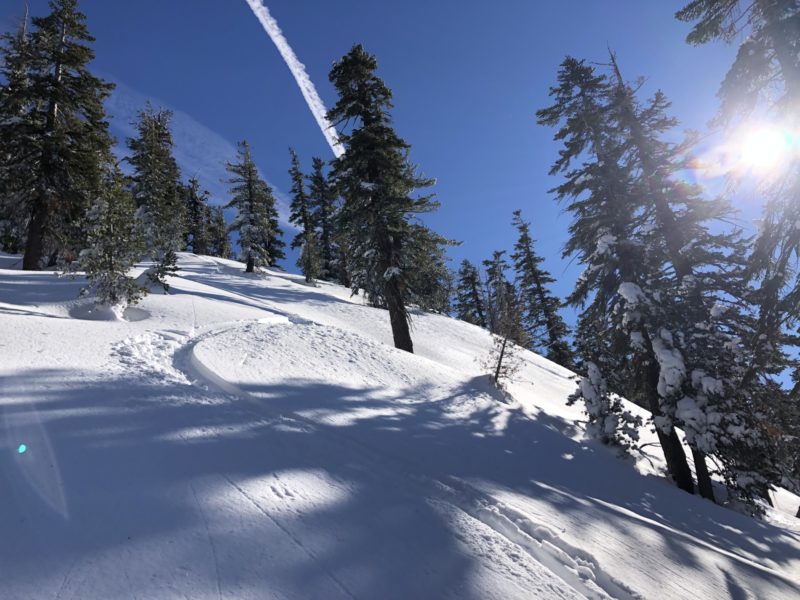
Targeted a near tree-line zone around 9500ft down to 9100ft that has a northerly aspect where you can check out NW-NE aspects that get heavily cross- loaded and has steep 40deg convex rolls within the terrain. There is a cliff to the west and is exposed to the brunt of uninterrupted winds from the San Joaquin river canyon. There indeed had been previous significant wind loading with firmer slabby surfaces that ranged from 15cm to 30cm in depth overlying fist hardness powder. Hand pits today pulled these firmer wind affected slab off at moderate to hard force. Ski testing of steeper convex rolls on all NW-NE aspects did not produce cracking, collapsing or moving panels of wind slab today. There had been adequate time for stabilization over the course of yesterday and last night. There did not seem to be any energy in the snow here today. Just deep, slow settled powder turns. Exposed snow surfaces in upper glades and alpine terrain is quite wind affected and variable, but overall still decently soft if you look for the orange peel texture, otherwise more sheltered terrain is quite soft with ski penetration of 25cm or so. Boot penetration within the forest was around 40cm showing the good settlement.
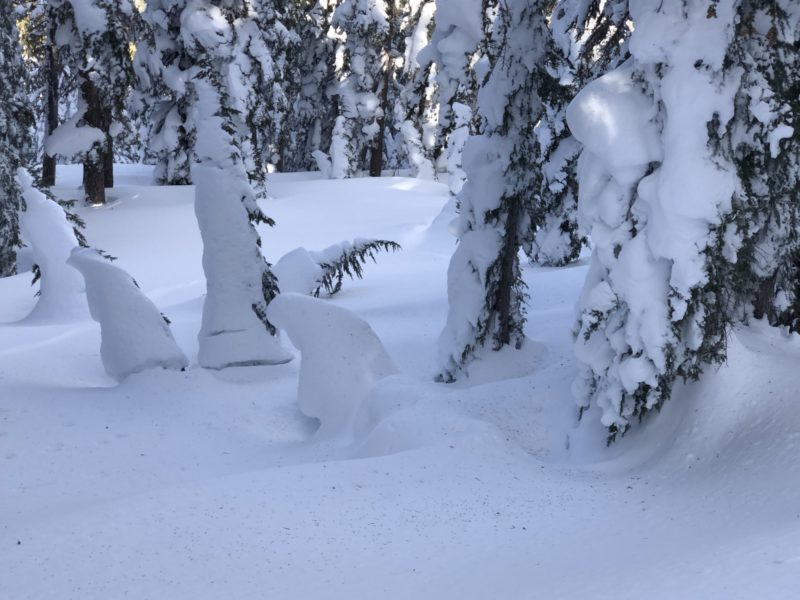
The forested terrain from 9500-9000ft on this NW-N terrain was really drifted and undulating from the dramatic Christmas storm. Looks like for every foot of snow we got there was 20feet of wind. Below 9000ft snow surfaces within the forest were more uniform and unaffected by wind. Massive settlement within the pack has transpired since the big event with close to 2feet of drop. Total Snow depths averaged 200+cm. Although it’s been fairly cold below 9K tree canopy shedding is starting to bomb out snow surfaces and sprinkle the surface with falling rime from the branches.
28degF @ 1200pm @ 9200ft, light sw wind
Media
Advanced Information
Weather Summary
Cloud Cover:
ClearTemperature:
28degFWind:
Light , SW
Temperatures were in the teen in the upper elevations today with much warmer temps at 8000ft. Snow was melting and dripping off the forest at lower elevations in the afternoon. Light SW winds were blowing during morning hours and started increasing a bit in the afternoon. Strong SW winds were blowing above 11K by early afternoon and light bannering of snow could be seen on the highest peaks on the crest. Otherwise gorgeous blue sky day!
Close