
Professional Observation
Basic Information
Observation Details
Observation Date:
December 15, 2021Submitted:
December 15, 2021Observer:
Chris Engelhardt | ESAC ForecasterZone or Region:
Convict CreekLocation:
Convict Lake AreaSigns of Unstable Snow
Recent Avalanches?
YesCracking?
IsolatedCollapsing?
IsolatedKey Points
- Recent mid-storm slab avalanche activity
- Wind transport of snow in the alpine today by SSW winds– mostly above 10,000ft
- 75cm of new settling snow at 9100ft elevation on N aspect
https://www.youtube.com/watch?v=oeBXzZO6p20
Media
Advanced Information
Weather Summary
Cloud Cover:
ClearTemperature:
17Wind:
Moderate , SWAvalanche Observations
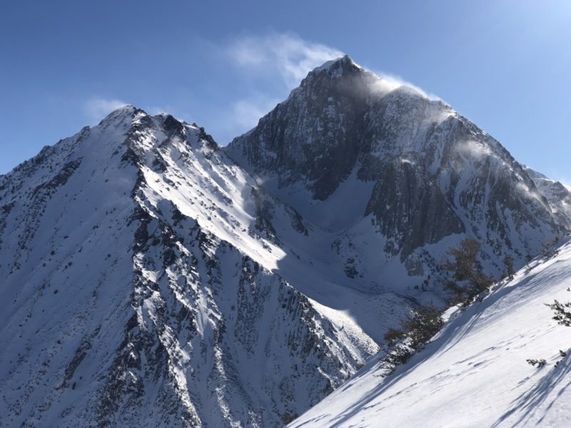
Observed plenty of recent slab avalanches in the alpine, primarily on NE aspects and above 10000ft. I could see evidence of these mid-storm avalanches on Mt McGee, Mt. Baldwin, Mt. Morrison and Laurel Mountain. Crown depths looked to be around 2-3feet and generally were in steep, complex terrain where crown lines connected to bordering rock features. Id estimate general size to be no more than D2. I was not able to distinguish debris in run out zones, as most were covered with subsequent snowfall during the storm.
Snowpack Observations
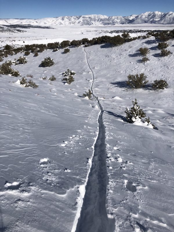
I skinned or rather wallowed up to around 9100ft today in the Convict Lake area. It could aptly be called trench warfare as I feel like I went to battle today writing this.
On my up track I followed the apex of a ridge and there was numerous settlement cracks and a few small soft slabs that had slid short distances from NE aspects. The snow surface adjacent to ridgeline on the NE aspect was quite slabbed up (30cm depth) on the surface overlaying soft Fist Hardness snow. When I reached about 8300ft in elevation today and adjacent to this ridge, I started getting minor collapsing of the snowpack and minor cracks which I really had to stomp on to initiate.
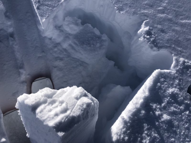
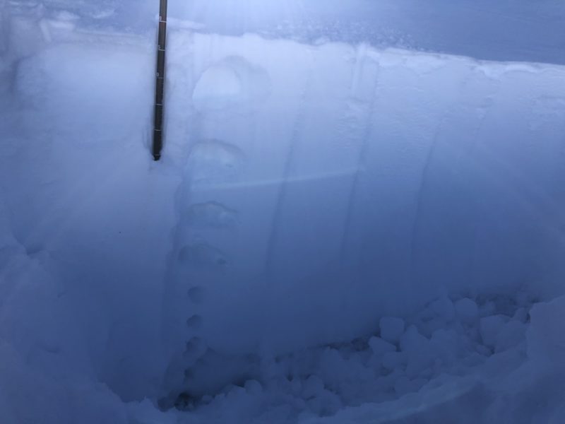
Dug a snowpit at 9111ft on a North aspect. 26deg slope
HS: 90cm Height New Snow: 75cm, 15cm old snow at the base.
CTN & CT21 Q2 @ 15cm new/old snow interface
ECTX
New snow was already uniformly settling from soft Fist Hardness on top down to 1 Finger hardness near the bottom of the 75cm total new snow. The north aspect had a mixed bag of snow surface from soft powder to a nasty 10cm wind board that acted like a trap door if you found yourself underneath it.